Customize Your Framed Image

Clear Options

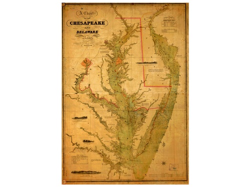
Chesapeake & Delaware Bays 1840

SKU: #HNC20

This large map features a nautical map of the Chesapeake and Delaware Bays. The original map was created in 1840.


Glass

No Glass


Error message here!

Hide Error message here!

Forgot your password?

Error message here!

Error message here!

Hide Error message here!

Lost your password? Please enter your email address. You will receive a link to create a new password.

Error message here!

Back to log-in

Close